Every agricultural drone flies a planned route — but how faithfully it follows that route depends entirely on how well it knows its own position. Standard satellite positioning is good enough to find a field; it is not good enough to spray one efficiently. This article explains what RTK is, what it changes in daily spraying work, and why it pays for itself faster than most accessories.
How Accurate Is "Normal" GPS, Really?
A standalone GNSS receiver — the kind in phones and consumer drones — computes position from satellite signals distorted by the ionosphere, atmosphere and multipath reflections. On a good day the error is a couple of meters; it also drifts, so two passes flown "in the same place" minutes apart can land several meters from each other.
What RTK Does Differently
RTK (Real-Time Kinematic) adds a second receiver — a base station standing on a known point. The base sees the same satellite errors as the drone, computes the difference in real time and streams corrections to the aircraft. The result is repeatable positioning accuracy in the range of 2–3 centimeters, both horizontally and pass-to-pass.
Why Centimeters Turn into Money
- Overlap. Without RTK, spray lines must overlap generously to be sure nothing is missed. Meter-level drift forces meter-level overlap — which is pure double-dosing of product on a strip of every pass.
- Skips. The opposite failure — unsprayed stripes between passes — means visible disease or weed lines weeks later.
- Buffer zones. Regulations require distance from watercourses, roads and neighboring crops. With centimeter navigation you can work confidently right up to the legal boundary instead of sacrificing a safety margin of several meters of your own crop.
- Night and repeat operations. RTK routes are repeatable: the follow-up application lands exactly on the previous track, at night or in fog, without visual reference.
RTK in the XAG Ecosystem
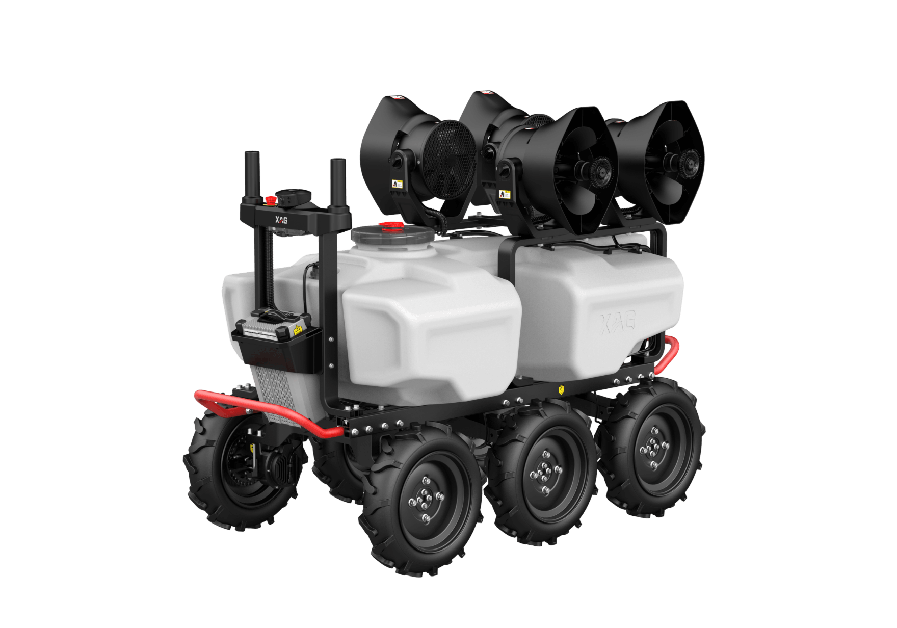
XAG drones are RTK-native. The P100 Pro RTK bundle includes a GNSS XRTK4 rover; for fleets and fixed operations there are two station options: the portable XRTK7 mobile station you carry from field to field, and the fixed RTK station that covers your whole farm permanently — and serves every XAG machine you own, including the R200 ground robot.
If you are choosing your first setup: a single mid-size farm is usually best served by the P100 Pro RTK bundle alone; service providers and large farms should plan a fixed station from day one. Questions? Ask us — we configure RTK for customers weekly.